A Grainy Glimpse That Changed Everything
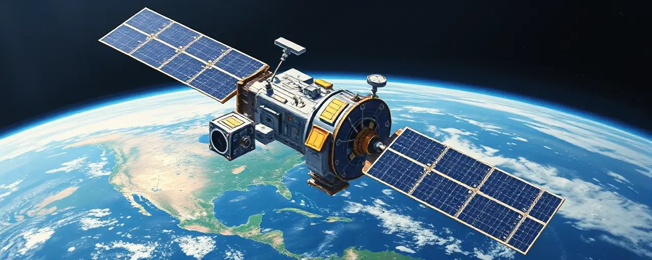
On April 1, 1960, a small satellite blasted off from a launchpad, carrying little more than two cameras and a bold idea. Known as TIROS-1, this 270-pound marvel became the world’s first successful weather satellite, beaming back fuzzy images of clouds swirling over the northeastern United States. It was a rough start, a bit like squinting through a scratched lens, but those early pictures marked a turning point. For the first time, humans could see weather patterns unfolding across the planet, not just from the ground beneath their feet.
The launch came amid a tense rivalry. Three years earlier, the Soviet Union’s Sputnik 1 had kicked off the Space Age, lighting a fire under the United States to catch up. By 1958, America answered with Explorer-1, its first operational satellite. Yet TIROS-1 stood apart. It wasn’t about prestige alone; it was about practical insight, giving forecasters a tool to track storms and shifting skies from 450 miles above Earth.
From Simple Snaps to Sophisticated Systems
TIROS-1 didn’t last long, just 78 days, but its impact stretched far beyond that brief window. With two video recorders onboard, it captured over 19,000 usable images, including a typhoon brewing a thousand miles east of Australia. Stephen Volz, a top official at NOAA’s Satellite and Information Service, called it a milestone that flipped the script on weather observation. Before, understanding was tethered to local reports; after, the view went global.
What started with TIROS grew fast. Over the next decade, NASA and the Environmental Science Services Administration, NOAA’s predecessor, rolled out more TIROS missions, each packing sharper tech. By 1970, NOAA itself was born, a nod to the growing clout of space-based weather data. Then came the game-changers: geostationary satellites like GOES-1 in 1975, parked in fixed orbits to watch regions continuously, and today’s polar-orbiting fleet, scanning the entire globe.
A World of Benefits, Tangible and Vast
Satellites didn’t just upgrade forecasts; they rewired how societies function. Farmers now time planting around precise rain predictions, cutting losses from drought or floods. Energy companies lean on wind and temperature data to tweak turbine output or manage power grids. During the Southeastern U.S. tornado outbreak in March 2025, satellite imagery pinpointed storm damage in remote areas, guiding relief efforts where ground teams struggled to reach.
Beyond economics, the stakes hit harder. Early warnings for hurricanes or heatwaves save lives by giving people time to brace or evacuate. Japan’s Himawari-10 satellite, set to boost typhoon forecasts by 30% in the Asia-Pacific, shows how far the tech has come. Meanwhile, international efforts like the WMO’s Information System 2.0, launched in January 2025, tie over 60 nations into a real-time data network, leveling the playing field for poorer countries facing climate threats.
Peering Deeper Into Earth’s Pulse
Today’s satellites do more than snap cloud pics. The GOES-R and JPSS fleets track vegetation health, spot wildfires, and measure ocean waves from space. AI crunches this data, blending it with radar and sensor feeds for hyper-local forecasts urban planners swear by. NVIDIA’s Earth-2 project even simulates climate shifts, mapping out polar ice melt or monsoon changes with eerie detail. It’s a long way from TIROS-1’s grainy shots, but the roots trace back to that first orbit.
Not everyone sees it the same way. Some researchers argue the focus on high-tech satellites overshadows ground-based tools like weather stations, which still offer critical fine-grain data. Others point to gaps, noting that while wealthy nations drive these advances, global data-sharing efforts lag in fully equipping smaller states. Still, the trajectory holds: what began as a weather experiment now anchors climate science, disaster prep, and resource management worldwide.
Looking Back, Reaching Forward
Sixty-five years after TIROS-1, its legacy hums in every forecast app and storm alert. From those 19,000 images sprang a network of machines that watch Earth relentlessly, feeding models that predict floods or droughts days ahead. The World Meteorological Organization’s push for global collaboration, built on foundations laid in the 1960s, keeps the data flowing across borders, a quiet triumph of shared purpose.
The story’s far from over. As climate pressures mount, satellites stand as sentinels, offering clarity amid chaos. They don’t solve everything; no tech does. But they give humanity a wider lens, a chance to see patterns and act before the skies turn. TIROS-1 was a spark, rough-edged and fleeting, yet it lit a path still unfolding.
