A Half-Century Watch Begins
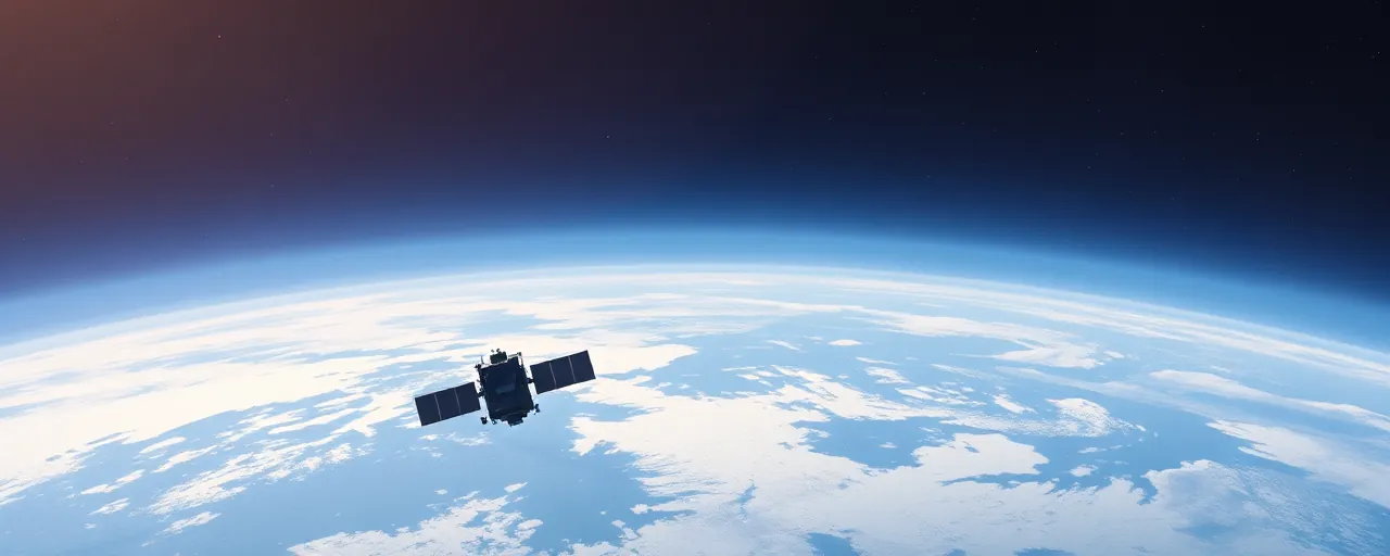
In October 1975, a new era dawned when the National Oceanic and Atmospheric Administration, partnering with NASA, launched GOES-1 into geostationary orbit. This satellite, the first of its kind, offered a steady gaze over the Western Hemisphere, delivering near real-time images of clouds and storms. Before its arrival, forecasters relied on patchy data, often leaving communities blindsided by hurricanes barreling toward shore. With GOES-1, that changed fast, as meteorologists gained a clearer view of atmospheric shifts, day or night.
Now, as NOAA celebrates 50 years of the Geostationary Operational Environmental Satellite program in 2025, the impact is undeniable. These orbiting sentinels have evolved from basic cloud trackers to sophisticated tools that warn of tornadoes, solar storms, and wildfires. For the billion people living across the Americas, GOES satellites are a lifeline, quietly shaping how we prepare for nature’s unpredictability.
Tracking Storms, Saving Lives
The early GOES satellites transformed hurricane forecasting. Take 1979, when Tropical Storm Claudette and Hurricane David slammed the U.S. GOES-1 delivered critical updates on their paths, giving coastal towns a fighting chance to brace for impact. Fast forward to 2017, and GOES-16 stepped in during Hurricane Maria, tracking the storm’s fury over Puerto Rico after radar failed. That real-time data, refreshed every 30 seconds, let forecasters pinpoint Maria’s eye and warn residents as the Category 4 beast approached.
Today’s GOES-19, operational as GOES East since April 2025, builds on that legacy with sharper imagery and lightning mappers. During this year’s tornado outbreak in early April, it captured swirling storm systems across the Southeast, helping meteorologists issue timely alerts. Experts at NOAA say these advancements cut warning times, giving people precious minutes to seek shelter or evacuate, though challenges remain when logistics or distrust delay action.
Beyond Weather: A Broader Mission
GOES satellites do more than watch storms. Since 1987, with GOES-7, they’ve carried transponders for the Search and Rescue Satellite-Aided Tracking system. This network picks up distress signals from emergency beacons on planes, boats, or handheld devices, relaying them to rescue teams. In early 2025, GOES-18 guided responders to wildfire-stricken zones in California, proving its worth in chaotic conditions. Thousands owe their lives to this tech, which thrives in remote areas where help is hard to reach.
Then there’s space weather. GOES-19’s Compact Coronagraph, launched this year, spots solar eruptions that could fry power grids or knock out GPS. A G4-class storm earlier in 2025 rattled infrastructure planners, echoing a 2022 event that cost SpaceX dozens of satellites. By flagging these risks early, GOES helps shield everything from astronauts to your phone’s navigation app, blending earthly and cosmic vigilance.
The Next Orbit: GeoXO on the Horizon
As the current GOES fleet nears retirement, NOAA’s gearing up for the Geostationary Extended Observations program, or GeoXO, set to launch in the early 2030s. This next generation promises sharper ocean and climate data, vital as warming trends accelerate ice melt and storm intensity. Scientists see it as a tool to tackle big questions, like how shrinking atmospheric layers might clutter orbits with debris, a problem MIT researchers flagged recently.
GeoXO’s arrival won’t come a moment too soon. With the 2025 hurricane season tipped to churn out nine storms, four potentially major, the need for precise forecasting is glaring. Advocates for climate action also hope its data will bolster efforts tied to global sustainability goals, though some industry voices worry about the costs of maintaining such ambitious systems amid budget debates.
A Legacy in Focus
Five decades in, the GOES program stands as a testament to what persistent innovation can achieve. From blurry black-and-white scans to minute-by-minute fire tracking, each leap has sharpened our grasp of a restless planet. The stakes are high; lives, homes, and economies hang on those crisp satellite feeds. Yet, the human side, like evacuation barriers or spotty communication, reminds us tech alone doesn’t seal the deal.
Looking ahead, GOES and its successors face a world where weather grows wilder and space itself gets messier. The blend of past lessons and fresh tools offers hope, not certainty. For now, these satellites keep watch, stitching science into the daily rhythm of staying safe, a quiet hum above the chaos below.
