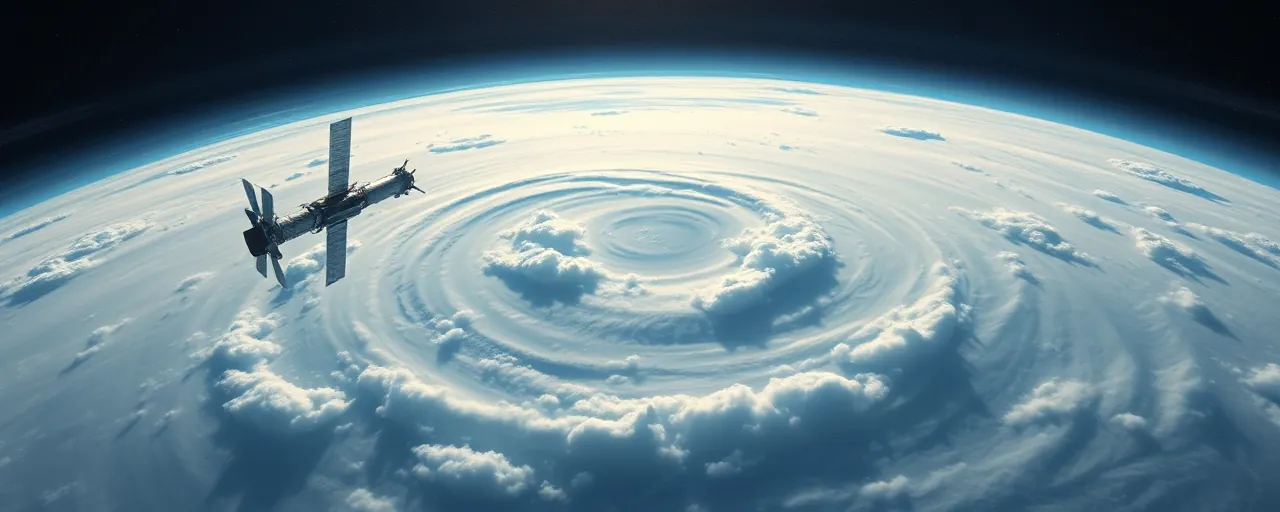
A View From Above
On April 22, 2025, as the world marks Earth Day, the National Oceanic and Atmospheric Administration (NOAA) celebrates a milestone: 50 years of its Geostationary Operational Environmental Satellite (GOES) program. Since 1970, the same year the first Earth Day was held, NOAA’s satellites have kept watch over the planet, capturing data that shapes weather forecasts, tracks environmental changes, and warns of hazards. These orbiting sentinels, developed in partnership with NASA, provide a perspective no ground-based system can match.
From hurricanes churning in the Atlantic to wildfires raging in the Pacific, satellites deliver real-time insights that save lives and protect property. They also monitor longer-term shifts, like rising sea levels and shrinking ice caps, offering critical data for climate research. But how do these systems work, and why do they matter to people on the ground? The answer lies in a network of advanced technology orbiting miles above the Earth.
NOAA operates two main types of satellites: polar-orbiting and geostationary. Each serves a distinct purpose, gathering data that feeds everything from daily weather reports to disaster response plans. As the planet faces more extreme weather and environmental challenges, these satellites have become indispensable tools for understanding and adapting to a changing world.
Polar-Orbiting Satellites: A Global Snapshot
NOAA’s polar-orbiting satellites, part of the Joint Polar Satellite System (JPSS), zip around the Earth 14 times a day at 512 miles above the surface. Satellites like NOAA-20, NOAA-21, and the NOAA/
These satellites excel at providing high-resolution data on atmospheric conditions, such as temperature and moisture levels. This information fuels numerical weather models that predict conditions up to seven days out, helping communities prepare for storms or heatwaves. Their close-up view also tracks environmental changes, like deforestation or ocean currents, offering insights into the planet’s health over time.
Beyond weather, polar-orbiting satellites support disaster management. For instance, in April 2025, NOAA satellites captured images of heavy sediment runoff from Mississippi River flooding, aiding response efforts. Their ability to monitor vast areas in detail makes them vital for both short-term forecasts and long-term climate studies.
Geostationary Satellites: Eyes on the Hemisphere
While polar-orbiting satellites roam globally, NOAA’s GOES-R Series stays fixed over specific regions, orbiting 22,236 miles above the equator at speeds matching the Earth’s rotation. This allows satellites like GOES-19, now operating as GOES East over the Atlantic, and GOES-18, as GOES West over the Pacific, to provide continuous, near real-time coverage of more than half the globe, from Africa’s west coast to New Zealand.
GOES satellites deliver full-disk views of the Earth, capturing everything from brewing tropical storms to lightning strikes. Their advanced imagers and atmospheric sensors feed data into severe weather warnings, often giving communities critical lead time. In 2025, GOES-19’s new compact coronagraph began tracking coronal mass ejections, solar events that can disrupt power grids and satellites.
The GOES program’s 50-year legacy reflects steady innovation. Each generation of satellites has brought sharper imagery and faster data processing, transforming how forecasters predict hurricanes, wildfires, and other hazards. Their role in space weather monitoring has also grown, protecting infrastructure like GPS and aviation systems from solar disruptions.
Space Weather and Deep Space Watch
Beyond Earth’s atmosphere, NOAA’s satellites keep an eye on space weather, driven by solar flares and coronal mass ejections. These events can induce currents in power lines, disrupt GPS, and affect aviation, with economic impacts ranging from millions to billions of dollars. NOAA’s Deep Space Climate Observatory (DSCOVR), stationed a million miles away at Lagrange Point 1, monitors solar activity and captures Earth imagery with NASA’s Earth Polychromatic Imaging Camera.
As DSCOVR nears the end of its lifespan, NOAA plans to launch the Space Weather Follow-On (SWFO-L1) satellite in late 2025. This new mission will continue tracking solar events, providing early warnings to industries reliant on stable power and communication. In May 2024, a geomagnetic storm disrupted GPS-based farming equipment, underscoring the stakes of these forecasts.
Space weather monitoring highlights the interconnectedness of Earth and its cosmic environment. By combining data from geostationary, polar-orbiting, and deep-space satellites, NOAA builds a comprehensive picture that informs everything from disaster preparedness to infrastructure protection.
Shaping Policy and Public Action
Satellite data does more than predict the weather; it shapes environmental policy and public awareness. Governments and organizations use imagery from satellites like NOAA’s GOES and JPSS, alongside NASA’s Landsat and Europe’s Sentinel, to monitor land use, enforce anti-deforestation laws, and track climate indicators like sea-level rise. Brazil’s DETER system, for example, relies on satellite data to curb illegal logging, while early-warning systems in California use it to detect harmful algal blooms.
Open data policies from agencies like NOAA and NASA make this information widely accessible, fostering collaboration among researchers, policymakers, and communities. Yet challenges remain. Turning raw data into actionable policy requires advanced analytics and global coordination, especially for the United Nations’ Sustainable Development Goals, where satellite data fills gaps in traditional monitoring.
Looking Ahead
NOAA’s satellites, paired with advancements like AI-driven analytics and hyperspectral imaging, are set to play an even bigger role in the future. The upcoming GeoXO satellite system, planned for the 2030s, promises enhanced weather forecasting and environmental monitoring. Meanwhile, innovations like Japan’s Himawari-10 and Planet’s Pelican-2, with onboard AI, point to a new era of faster, more precise data delivery.
As the planet grapples with intensifying weather patterns and climate shifts, these orbiting tools offer hope. They provide the clarity needed to navigate uncertainty, from preparing for the next storm to safeguarding the Earth for future generations. The view from space remains a powerful reminder of both the planet’s fragility and humanity’s capacity to protect it.
