A New View on Wildfires
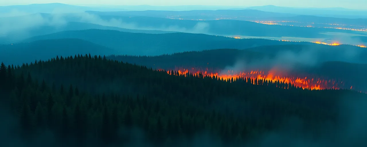
On a March afternoon in Alabama, a wildfire sparked near Castleberry, its flames unnoticed by local authorities. High above, a NASA research plane equipped with a cutting-edge sensor detected the blaze, capturing detailed images of its spread. Within minutes, firefighters on the ground received maps on their phones, pinpointing the fire’s hottest points and its boundaries. This rapid response, driven by NASA’s AVIRIS-3 imaging spectrometer, helped contain the fire before it could engulf nearby homes.
The Airborne Visible Infrared Imaging Spectrometer 3, or AVIRIS-3, represents a leap in wildfire management. Mounted on a King Air B200 plane, it scans landscapes from 9,000 feet, using infrared light to reveal details invisible to the human eye. Unlike traditional methods that rely on ground reports or delayed satellite data, AVIRIS-3 processes information in real time, offering firefighters immediate insights to guide their efforts.
This technology, tested during NASA’s 2025 FireSense Airborne Campaign, is part of a broader push to harness advanced tools for disaster response. As wildfires grow more frequent and intense across the United States, such innovations are becoming critical to protecting lives, property, and ecosystems.
The Castleberry fire was one of several incidents where AVIRIS-3 proved its value, marking a shift toward agile, science-driven firefighting. Its success raises questions about how technology can reshape emergency management in an era of escalating environmental challenges.
Real-Time Data in Action
During the March campaign, AVIRIS-3 flew over Alabama, Mississippi, Florida, and Texas, mapping 13 wildfires and numerous hot spots. In one instance near Perdido, Alabama, the sensor revealed that a fire’s main hot spot was contained within its perimeter. This allowed forestry officials to redirect resources to another blaze near Mount Vernon, where flames threatened four buildings. Crews used the maps to establish fire breaks, halting the fire’s advance just 100 feet from the structures.
The sensor produces three types of maps, each offering unique insights. The Fire Quicklook map uses three infrared wavelengths to show flame intensity, with yellow indicating the hottest areas and dark red marking burned zones. The Fire 2400 nm Quicklook highlights fire perimeters and hot spots against a red background, a favorite among Alabama firefighters for its clarity. A third map tracks smoke and burned areas, aiding in broader assessments.
What sets AVIRIS-3 apart is speed. Researchers simplified calibration algorithms to process data onboard the plane, cutting processing time from days to minutes. Satellite internet then transmits the maps to ground crews while the plane is still airborne, enabling swift decision-making.
Ethan Barrett, a fire analyst with the Alabama Forestry Commission, praised the technology for its precision. He noted that seeing a fire’s outline from above allowed crews to deploy bulldozers strategically, saving critical time in containment efforts.
A Growing Need for Innovation
Wildfires in the United States have surged in frequency and severity over the past two decades, driven by rising temperatures, prolonged droughts, and increased development in fire-prone areas. Data from the U.S. Forest Service shows that since the early 2000s, the number of large fires has tripled, with the 2023 and 2024 seasons among the most destructive on record. These trends, linked to climate change, have strained traditional firefighting methods.
Federal agencies like NASA are stepping in to address this challenge. While not a primary response agency, NASA collaborates with FEMA, the USGS, and others to provide data and technology. Its Earth Science Disasters Program delivers real-time imagery and analysis, supporting everything from fire mapping to air quality monitoring. The newly launched Disaster Response Coordination System further streamlines data access for emergency managers.
Beyond AVIRIS-3, NASA is exploring other tools, such as drones and airspace management systems for wildfire response. The Advanced Capabilities for Emergency Response Operations project, for instance, aims to integrate uncrewed aircraft into firefighting efforts, improving safety and coordination in smoky, low-visibility conditions.
Balancing Promise and Challenges
The adoption of advanced technology in wildfire management enjoys broad support among federal, state, and local agencies. Policymakers and emergency managers see tools like AVIRIS-3 as vital for enhancing situational awareness and protecting communities. Recent legislation reflects this consensus, allocating funds for forest health and technological innovation.
Yet challenges remain. Integrating new systems requires training, funding, and coordination across agencies. Airspace management for drones, privacy concerns, and the need for standardized data protocols are ongoing hurdles. Some firefighting teams, accustomed to traditional methods, may hesitate to rely on high-tech solutions without extensive field testing.
Historical context underscores the potential of these advancements. Early wildfire detection relied on lookout towers and ground patrols, which often lagged behind fast-moving blazes. Satellites like MODIS improved monitoring, but their data could take hours to process. AVIRIS-3 and similar tools mark a new era, where real-time insights can outpace a fire’s spread.
Looking Ahead
The success of AVIRIS-3 in Alabama highlights the transformative power of real-time data in disaster response. By providing firefighters with precise, actionable information, NASA is helping to mitigate the devastating impacts of wildfires. As the technology matures, its applications could extend to other disasters, from hurricanes to floods, where rapid data delivery is equally critical.
Still, technology is only part of the solution. Addressing the root causes of wildfires, such as climate change and land management practices, will require sustained effort across sectors. For now, tools like AVIRIS-3 offer a lifeline, equipping responders with the clarity needed to navigate an increasingly volatile landscape.
