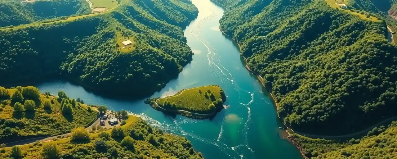
Seeing Rivers From Space
Rivers shape the world, nourishing ecosystems and sustaining communities. Yet, when heavy rains or snowmelt surge through their channels, they can spawn flood waves that stretch for miles, endangering lives and property. For years, tracking these waves depended on scattered ground sensors, leaving many regions blind to rising risks. A NASA-led satellite mission is now transforming how we monitor rivers, offering a global perspective on their movements.
Launched in 2022, the Surface Water and Ocean Topography satellite, or SWOT, is a collaboration between NASA and France’s CNES. Its radar instrument measures the height, width, and slope of water surfaces worldwide. By capturing the size and speed of flood waves as they race down rivers, SWOT provides data that could reshape flood prediction and disaster response.
This innovation arrives as floods grow more frequent and severe. In 2022, Pakistan’s floods submerged a tenth of the country, displacing millions. In the U.S., aging levees and bridges face mounting pressure. SWOT’s ability to map water dynamics offers a vital tool for understanding and preparing for these escalating threats.
The mission’s promise lies in its precision. Unlike traditional gauges, which monitor fixed points, SWOT scans entire river systems, revealing how flood waves evolve. This comprehensive view could help communities brace for floods with greater accuracy and confidence.
Tracking Waves, Saving Time
At Virginia Tech, researcher Hana Thurman analyzed SWOT data to study three U.S. flood waves. In April 2023, a wave over nine feet tall surged down Montana’s Yellowstone River, likely triggered by a collapsing ice jam. In January 2024, a 30-foot wave stretched 166 miles along Texas’ Colorado River, fueled by intense rainfall. A third, over 20 feet tall, coursed through Georgia’s Ocmulgee River in March 2024.
These findings highlight SWOT’s unique capabilities. River flood waves, unlike predictable ocean swells, arise from sudden events like storms or dam failures. SWOT’s radar captures their height, speed, and shape with remarkable detail, showing how they shift over vast distances. Such data can pinpoint when floods might hit, giving communities precious time to act.
In areas with few gauges, SWOT’s role is even more critical. While the U.S. Geological Survey operates a robust gauge network, many global regions lack similar systems. SWOT’s global coverage bridges these gaps, offering a unified way to monitor rivers and assess flood risks.
Navigating Policy and Progress
SWOT’s data is already enhancing flood forecasts. By feeding its measurements into NOAA’s National Water Model, scientists can predict flood wave arrivals with 30 to 50 percent more lead time in some U.S. regions. This information also helps engineers evaluate whether infrastructure like bridges or levees can withstand rising waters, a growing concern as floods intensify.
Translating this data into action involves diverse approaches. Some leaders advocate for robust federal investment in climate resilience, citing programs like FEMA’s Building Resilient Infrastructure and Communities grants, which use satellite data to prioritize vulnerable areas. In 2025, 25 states enacted laws mandating flood risk disclosures for property sales, signaling a focus on preparedness and transparency.
Others favor a streamlined federal role, emphasizing state and private-sector solutions. Proposals from groups like the Heritage Foundation suggest commercial satellites could deliver cost-effective data, easing the burden on public programs. They also advocate limiting federal disaster aid for smaller events, encouraging local governments and private insurers to lead.
A Global Perspective
SWOT’s impact reaches far beyond the U.S. By 2050, a projected 10 billion people will demand 50 percent more water for food production, with two-thirds facing water stress. Satellites like SWOT can monitor water resources, track flood risks, and guide infrastructure investments in data-scarce regions, from Africa to the Amazon.
The mission underscores the value of global cooperation. Built with contributions from Canada, the UK, NASA, and CNES, SWOT makes its data freely available, empowering researchers and governments to study water systems in unprecedented ways. This shared effort could drive solutions to pressing water challenges worldwide.
Building a Resilient Future
Orbiting Earth, SWOT is poised to observe over half of major floods at some stage, offering early warnings and detailed insights into flood behavior. For riverside communities, this could mean stronger defenses and better-informed decisions.
Technology, however, is only part of the equation. Effective flood management requires collaboration among scientists, policymakers, and local leaders. It also demands balancing short-term needs with long-term resilience as climate change alters weather patterns. SWOT’s data lays a foundation, but action depends on collective will.
Rivers will always bring both opportunity and risk. With SWOT’s view from above, we can better understand their rhythms, preparing for a future where water’s power is respected and its dangers are met with foresight.
